Mont Blanc Climb Expedition Complete Guide
Mont Blanc stands at 4,808 meters and is the highest mountain in Western Europe. It lies on the border between France and Italy, though the standard commercial climbing route begins in Chamonix, France.
Suggested:
Dashboard Blog Posts Edit "Denali Expedition Complete Guide - Full Document" Detail Revision History Name Denali Expedition Complete Guide - Full Document Permalink https://karakoramdiaries.com/blogs/ denali-expedition-complete-guide-full-document Preview: https://karakoramdiaries.com/blogs/denali-expedition-complete-guide-full-document Description Short description Content
Table of contents [Show]
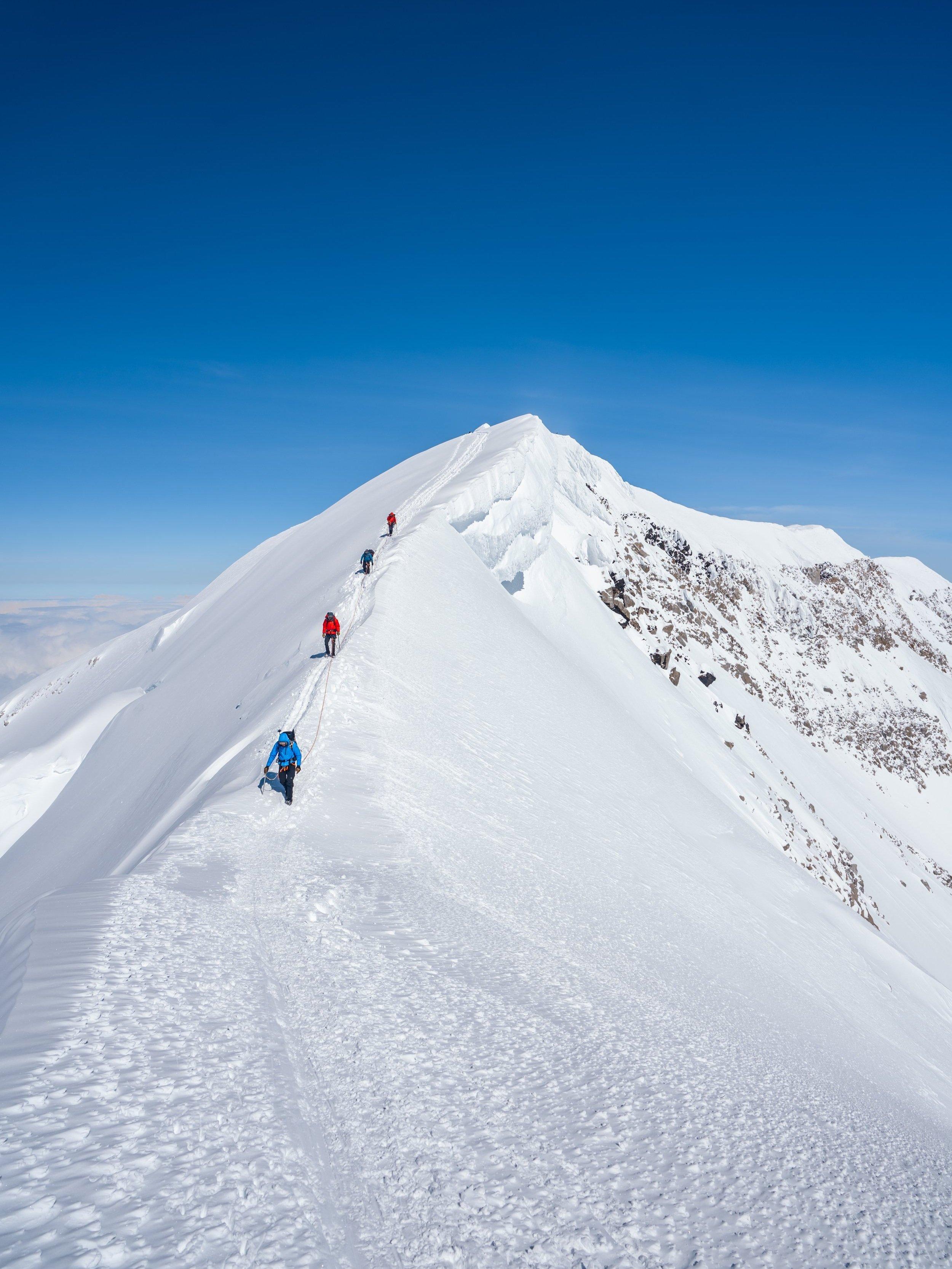
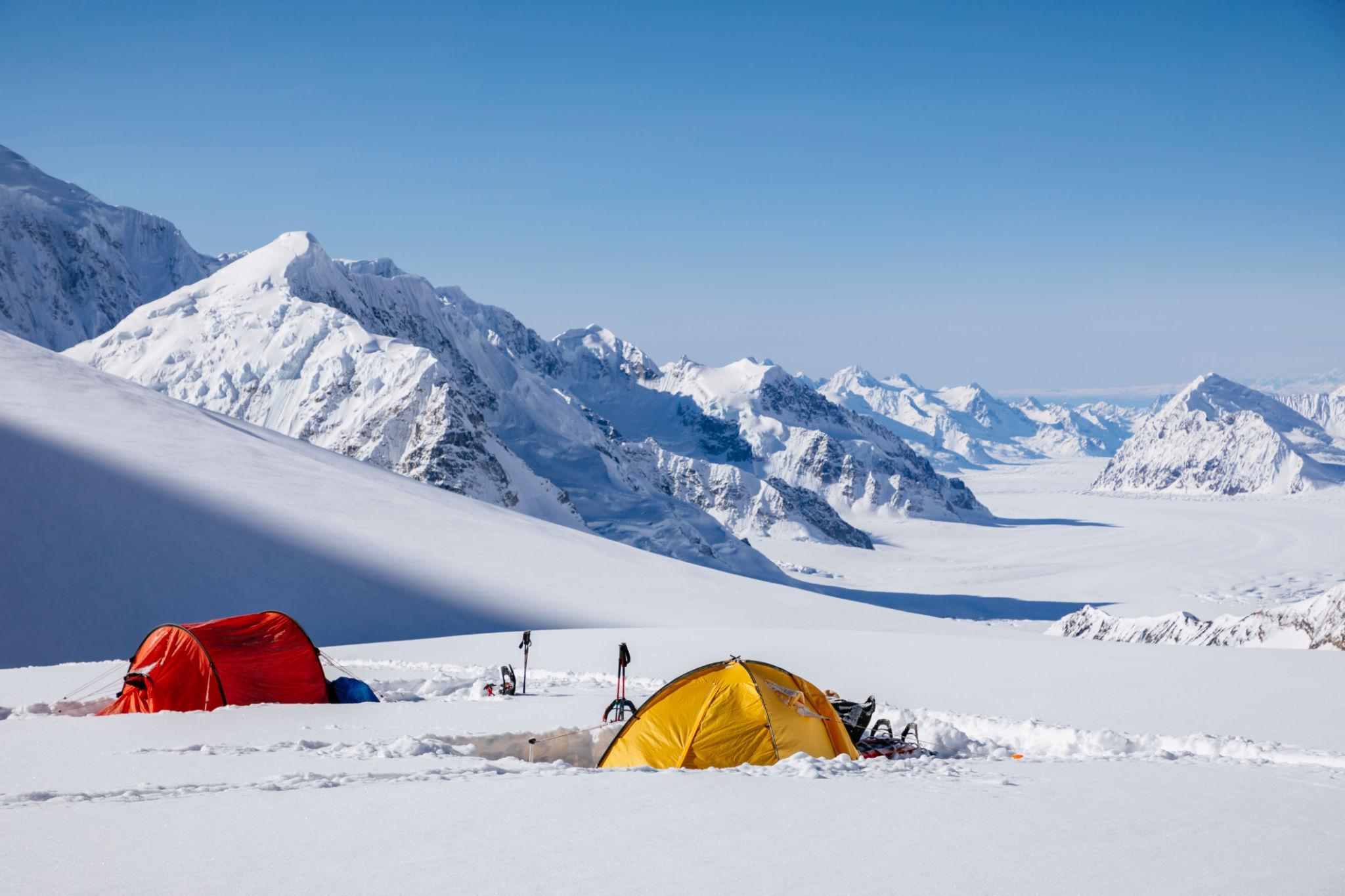
The West Buttress route, Kahiltna Glacier base camp, and sled-hauling conditions typical of Denali expeditions.
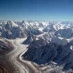
Denali rises to 6,190 meters inside Denali National Park in Alaska.
On paper, 6,190 meters appears lower than many Himalayan peaks. In practice, Denali feels significantly harder than many 7,000-meter mountains in Asia.
There are four primary reasons:
Denali is not a guided trekking peak. It is a full expedition mountain requiring:
Most expeditions use the West Buttress Route, which is technically moderate but physically severe.
The expedition begins in Talkeetna.
International climbers usually fly into Anchorage and travel by road to Talkeetna.
All climbers must:
Permit fee:
Approximately USD 395 per climber over age 24.
No one may fly to base camp without park registration clearance.
Access to base camp is by ski-equipped bush plane.
Landing altitude:
Approximately 2,200 meters.
Flight duration:
45 to 60 minutes depending on weather.
Flights are weather dependent. Delays of several days are common.
Weight restrictions apply to gear loads.
Each climber typically carries:
Upon landing:
Base camp is fully glaciated terrain.
Denali is climbed using a staged camp system with load-carry rotations.
The mountain is divided into:
The key to Denali success is disciplined rotation.
Denali is not climbed in a direct ascent. Climbers carry loads upward, cache supplies, descend to sleep lower, then move camp upward gradually.
Day 1:
Establish base camp. Build snow walls. Organize rope teams.
Day 2:
Carry 50 percent load to 2,400 m cache point. Return to base camp.
Day 3:
Move entire camp to 2,400 m.
Purpose:
Early acclimatization and load distribution.
Day 4:
Carry partial load to 3,300 m and cache supplies.
Day 5:
Return to 2,400 m.
Day 6:
Move camp to 3,300 m.
Terrain:
Moderate glacier slopes with crevasse risk.
Rope teams mandatory.
This section includes Motorcycle Hill, Squirrel Hill, and Windy Corner.
Windy Corner is notorious for high winds.
Day 7:
Carry load to Camp 14 cache. Return to 3,300 m.
Day 8:
Move camp to 4,300 m.
Camp 14 is major acclimatization hub.
Most teams spend 3 to 5 days here.
Activities include:
This stage is critical for summit success.
Poor acclimatization here results in failure above 5,000 meters.
This involves ascending fixed lines on the Headwall.
Slope angle:
Approximately 40 to 50 degrees.
Fixed ropes installed by National Park Service.
Load carries are physically demanding.
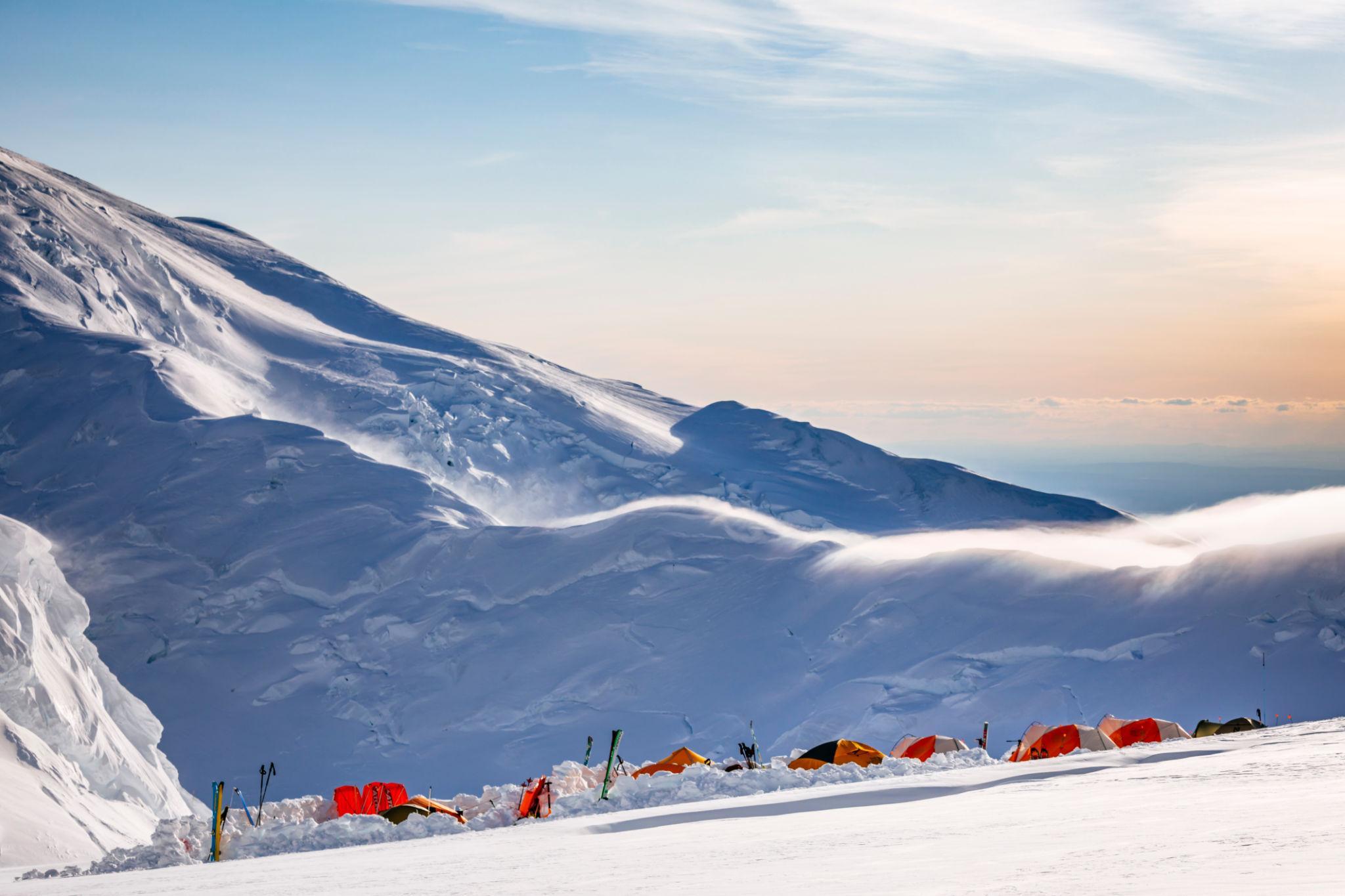
High Camp is fully exposed.
Storms frequently trap climbers here.
Departure:
Typically between 8 AM and 11 AM depending on weather.
Summit day duration:
8 to 12 hours.
Key features:
The Autobahn is a narrow exposed traverse with fatal fall consequence.
Wind exposure extreme.
Turnaround times strictly enforced by experienced guides.
Denali’s altitude profile creates significant physiological stress because of its latitude and rapid elevation gain during rotations.
Although the expedition uses staged carries, the sleeping altitude increases quickly once Camp 14 is established.
Symptoms commonly begin above 3,500 meters and intensify at Camp 14.
Common symptoms include:
Mild AMS is common and manageable.
Severe AMS requires descent.
More dangerous condition.
Symptoms include:
Immediate descent is mandatory.
Rare but life-threatening.
Symptoms include:
Descent must occur immediately regardless of weather.
Unlike commercial trekking peaks, evacuation may not be immediate due to storms.
Decision principles:
Camp 14 is the most common altitude-related retreat point.
Denali’s storms are among the most severe encountered on non-polar mountains.
Storm systems can produce:
Storm delays of 3 to 7 days are common at Camp 14 and High Camp.
Tents must be:
Failure to build proper snow walls leads to tent collapse.
Every team must carry extra food and fuel to survive extended storm days.
Underestimating fuel consumption for snow melting is a common failure.
Snow must be melted for all drinking water.
Fuel planning must account for:
Summit attempts require:
High winds on summit ridge are common.
Many teams turn around within 300 meters of summit due to wind exposure.
Turning around is normal and often necessary.
The Kahiltna Glacier is heavily crevassed in sections.
Primary crevasse risk zones:
Rope travel is mandatory.
Each rope team must maintain:
All members must understand crevasse rescue systems including:
Guided teams practice these systems before moving above 3,000 meters.
Denali requires full expedition provisioning.
Daily caloric burn:
4,000 to 6,000 calories per day.
Cold exposure increases energy demand.
Typical expedition diet includes:
Appetite suppression at altitude is common.
Teams must force consistent eating.
Snow melting requires significant fuel.
Average white gas consumption:
Approximately 0.5 to 0.7 liters per person per day.
Underestimating fuel leads to dehydration.
Water sources are entirely snow-based.
There are no liquid water streams above base camp.
Denali operates under strict environmental regulations.
All human waste must be packed out.
Each climber receives a Clean Mountain Can.
Waste is deposited in designated drop locations upon descent.
Failure to comply results in fines and future climbing restrictions.
This system preserves the glacier environment.
USD 8,000 to USD 12,000 per person.
Includes:
Higher-end programs exceed USD 14,000.
Approximate breakdown:
Permit:
USD 395
Flight to base camp:
USD 600 to USD 800
Food and fuel:
USD 1,000 to USD 1,500
Equipment (if owned):
Variable
Total independent cost:
USD 3,000 to USD 5,000
However, independent climbers must:
Failure rate is higher among independent teams.
Insurance must include:
Evacuation costs can exceed USD 50,000.
Rescue helicopters cannot fly in high winds or whiteout.
Self-descent may be required before evacuation.
International climbers require:
Climbing permit is separate from visa.
Denali tests mental endurance.
Storm delays create:
Summit success rate fluctuates between 50 and 65 percent annually depending on weather.
Many physically strong climbers fail due to:
Climbing season:
Late April to early July.
May is most popular.
Early season:
Colder temperatures.
Lower crevasse exposure.
Late season:
Warmer lower glacier.
Increased avalanche risk in certain zones.
Weather remains unpredictable throughout season.
Denali is one of the most respected high-altitude expeditions outside the Himalaya.
It demands:
It is suitable only for experienced mountaineers with prior expedition background.
It is not a stepping stone from trekking peaks.
It remains one of the strongest authority-building mountains for any serious expedition portfolio due to:
The information in this guide is intended for general planning purposes only. Trail conditions, permit requirements, costs, and access routes can change due to weather, seasonal closures, or local regulations. The itinerary provided is a suggested framework and may need to be adjusted based on your fitness level, acclimatization, and conditions on the ground. Always consult a local guide or trekking agency before departing and verify current conditions with authorities or affiliated company.
Mont Blanc stands at 4,808 meters and is the highest mountain in Western Europe. It lies on the border between France and Italy, though the standard commercial climbing route begins in Chamonix, France.
![K2 Base Camp Trek: Ultimate Guide k2 Trek 2026 [UPDATED]](https://karakoramdiaries.com/storage/ultimate-guide-to-k2-base-camp-trek-full-document-150x150.png)