The 2014 Annapurna Blizzard Disaster: When the Trail Turned White
The Trek That Attracts the World

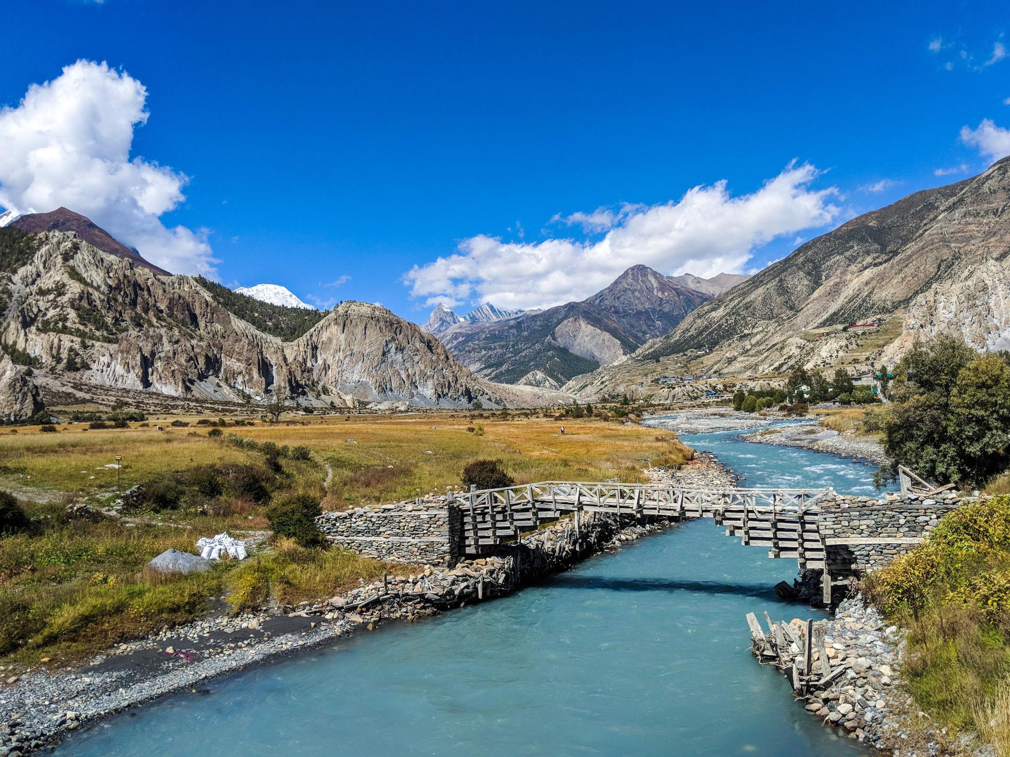
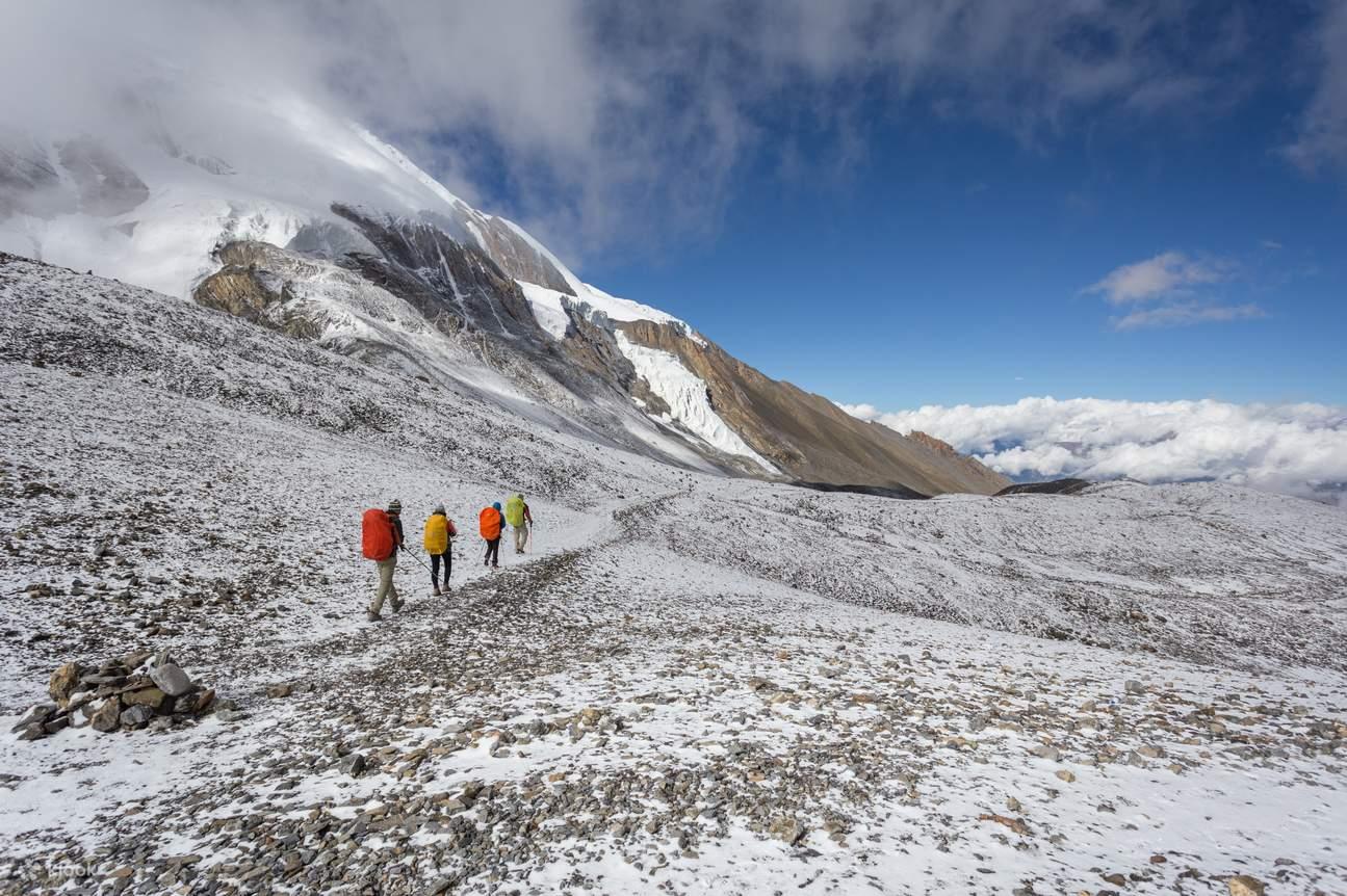
Trekkers walking along the Annapurna Circuit in Nepal.
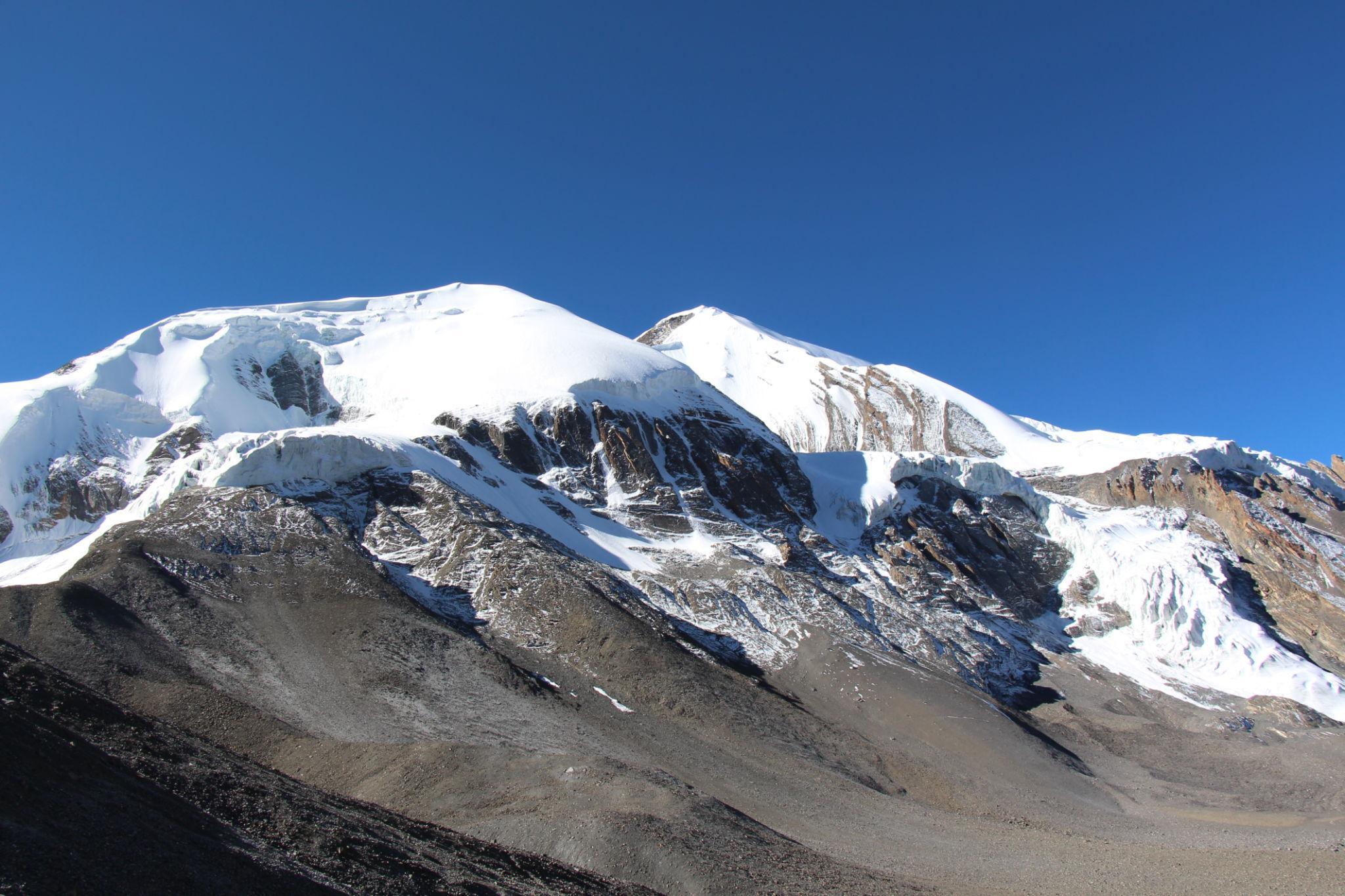
Thorong La Pass at 5,416 meters, the highest point on the circuit.
Every year, thousands of trekkers travel to Nepal to complete the Annapurna Circuit. Unlike Everest, it does not require technical climbing. It is marketed as demanding but accessible. A long, high-altitude trek through villages, river valleys, and alpine passes.
The highest point is Thorong La Pass at 5,416 meters. Crossing it is considered the defining moment of the journey.
In October 2014, peak trekking season, the route was busy. Backpackers from Europe, Asia, and North America shared tea houses with Nepali guides and porters. Weather reports suggested typical autumn conditions. Cold nights, clear mornings.
No one expected a cyclone.
Cyclone Hudhud Moves North
Satellite image of Cyclone Hudhud in October 2014.
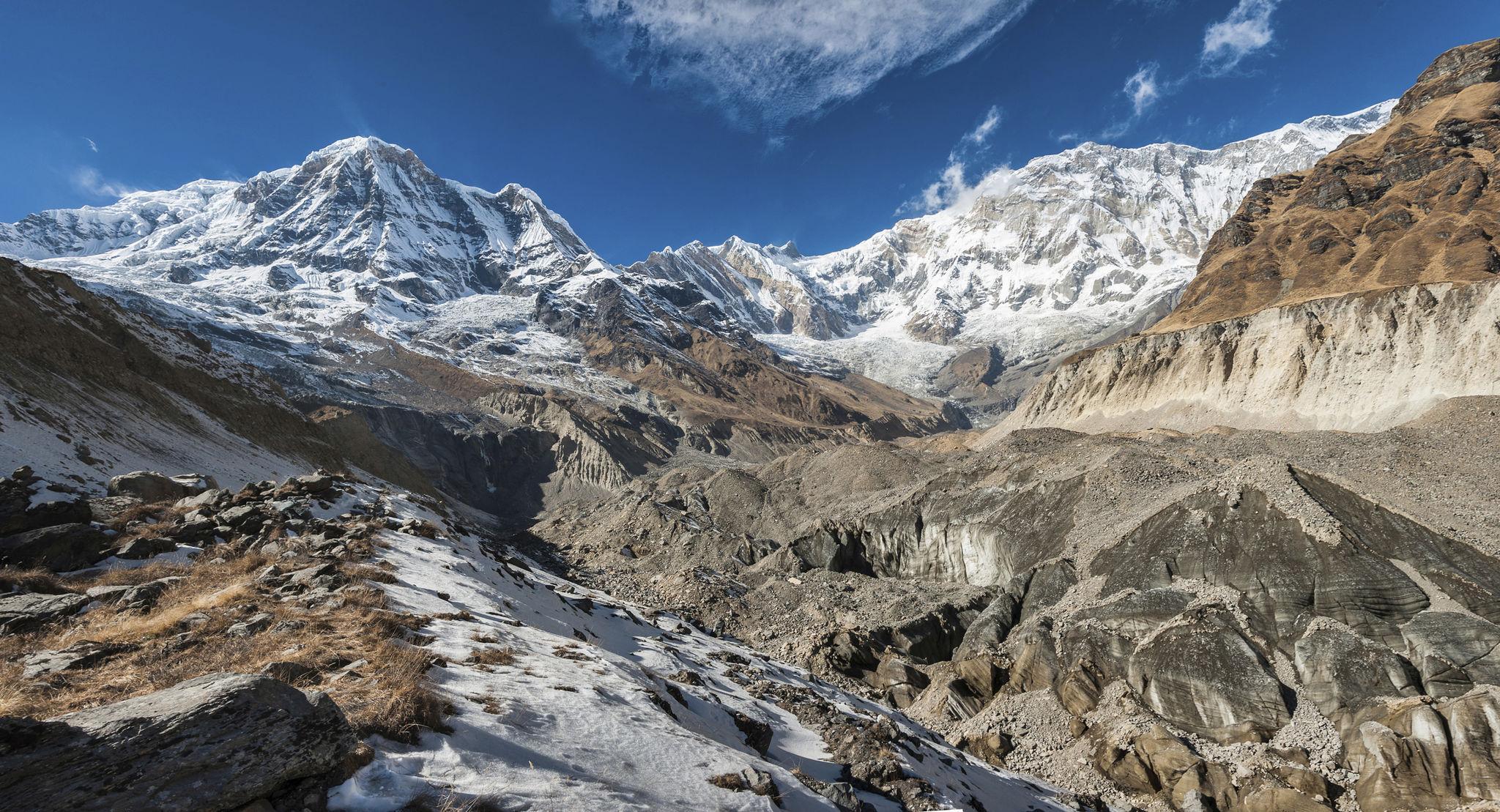
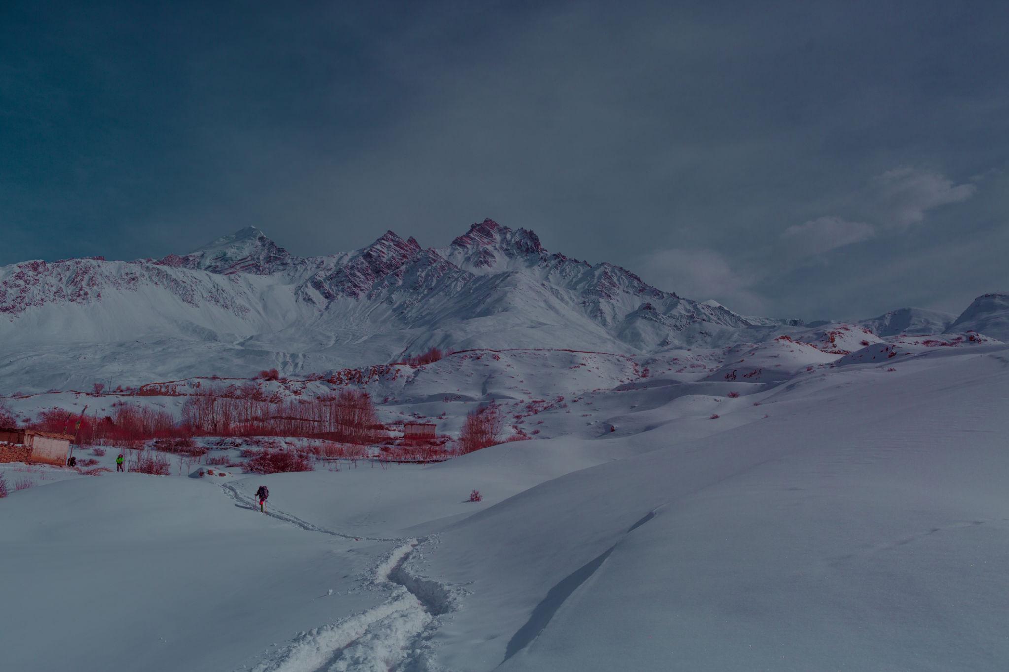
Snow-covered valleys in the Annapurna region after the storm.
In mid October, Cyclone Hudhud made landfall on the eastern coast of India. It weakened as it moved inland. Meteorologists tracked it as a typical post-monsoon storm system.
But remnants of the cyclone pushed moisture northward toward the Himalayas.
When warm, moisture-laden air collides with cold Himalayan air at altitude, heavy snowfall can occur rapidly.
By October 14, weather began deteriorating along the Annapurna Circuit. Snow started falling above 4,000 meters.
Trekkers at lower elevations saw only light snowfall. Many continued upward, unaware that conditions at Thorong La were becoming critical.
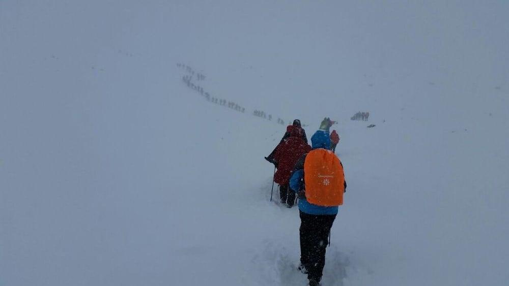
Snow at the Pass
Blizzard conditions near Thorong La Pass during severe weather.
Trekkers navigating heavy snow on high Himalayan trails.
Thorong La is not a gentle slope. It is a high mountain pass exposed to wind and weather. Even in stable conditions, crossing requires an early morning start to avoid afternoon winds.
On October 14 and 15, snowfall intensified. Wind speeds increased. Visibility dropped.
Trekkers who had already begun ascending from Thorong Phedi or High Camp encountered rapidly deepening snow. Trails disappeared beneath fresh accumulation. Footprints vanished within minutes.
Some groups turned back. Others continued, believing the weather would clear.
At high altitude, poor decisions often begin as hopeful assumptions.
The snow continued.
Whiteout and Disorientation
Whiteout conditions in the Himalayas where visibility drops to near zero.
Mountain trails buried under fresh snowfall.
Whiteout conditions remove all visual reference points. Sky and ground blend into one field of white. Depth perception disappears. Even marked trails become impossible to follow.
Trekkers lost the route to Thorong La. Some wandered off track into deeper snowfields. Others became separated from guides.
Temperatures fell sharply overnight. Wind chill pushed conditions below minus 20 degrees Celsius.
Hypothermia does not announce itself dramatically. It begins with shivering, confusion, and slowed thinking. In extreme cases, people remove clothing due to paradoxical warmth.
Rescue was difficult. Communication infrastructure along the circuit was limited in 2014. Weather reports were not widely distributed to individual trekking groups.
Snow accumulation reached over one meter in some sections.
Some trekkers became trapped inside tea houses. Others were caught outside between settlements.
The Casualties
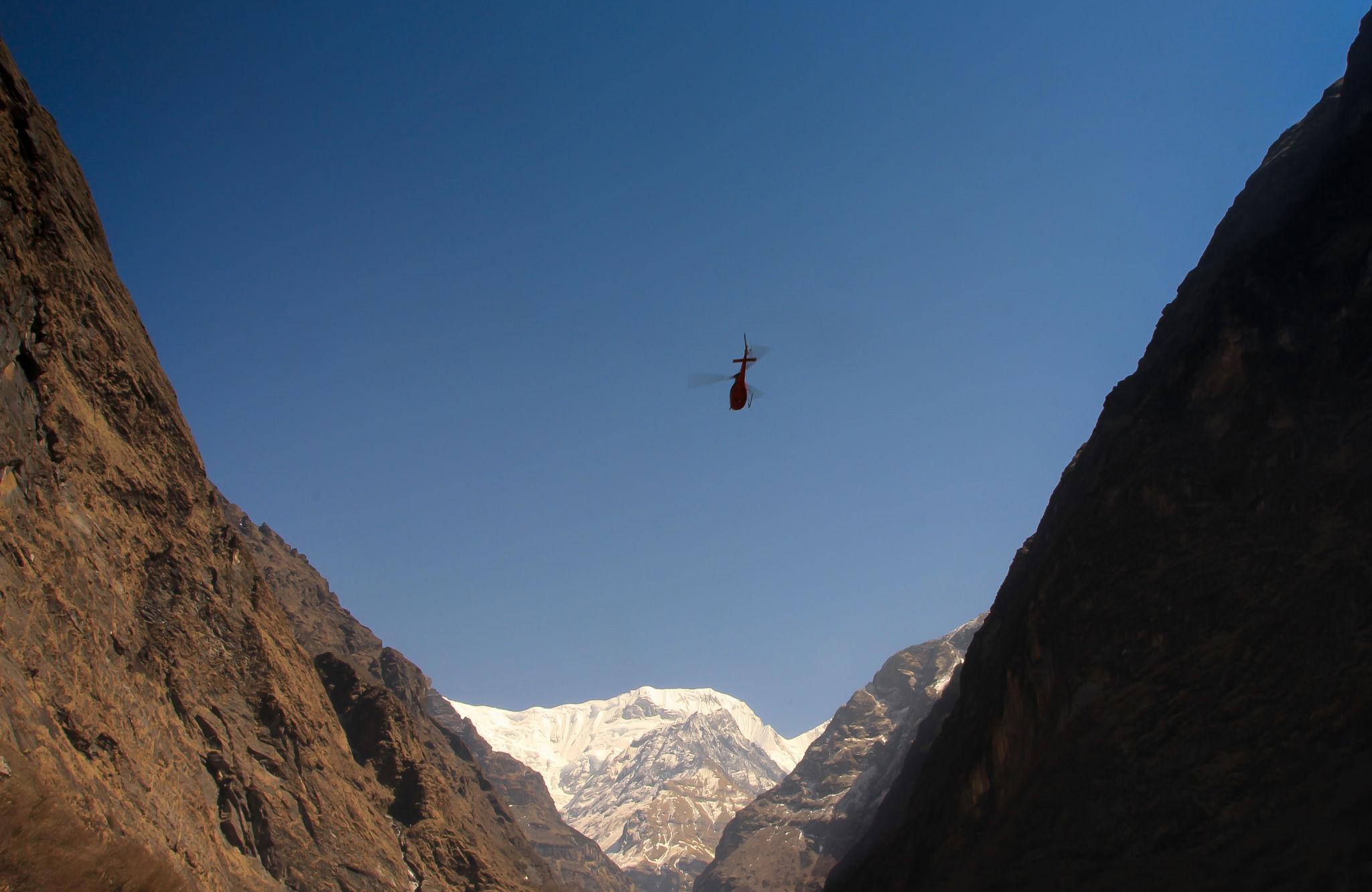
Helicopter rescue operations in the Annapurna region after the storm.
Memorials erected for trekkers who lost their lives in 2014.
By the time the storm cleared, at least 43 people had died. They included trekkers from multiple countries as well as Nepali guides and porters.
Many were found along the trail near Thorong La. Some were discovered inside shelters. Others were buried beneath snow.
Helicopter rescue operations began once visibility improved. Survivors were airlifted from Manang and other villages.
The scale of the tragedy shocked Nepal’s trekking community. Annapurna was considered challenging but not extreme. It was not an 8,000 meter summit.
The disaster demonstrated how quickly trekking terrain can become lethal when weather systems shift.
Questions That Followed
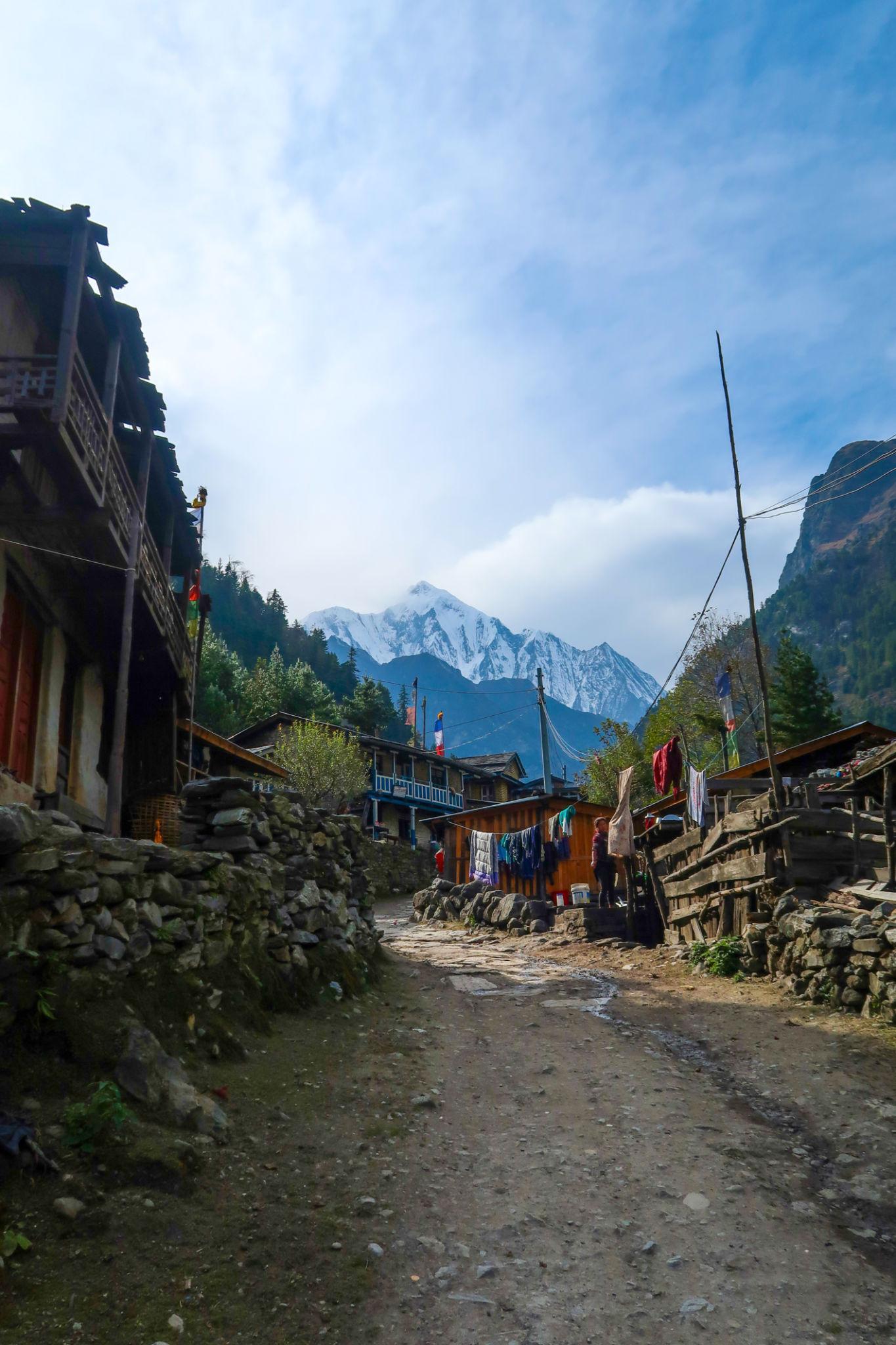
Villages along the Annapurna Circuit that host thousands of trekkers annually.
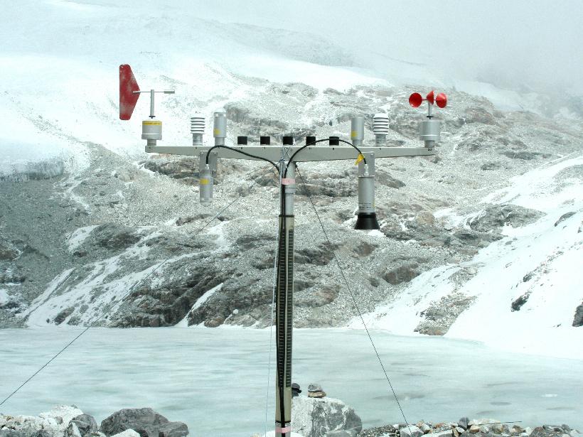
Weather monitoring stations in mountainous terrain.
After the storm, criticism emerged.
Were weather warnings communicated clearly to trekking agencies
Did guides underestimate the cyclone’s impact
Should authorities have closed the pass earlier
Were independent trekkers properly informed
The Annapurna Circuit had become popular for solo backpackers traveling without guides. Many relied on local tea houses rather than structured expedition logistics.
Unlike Everest, where expeditions have meteorologists and satellite forecasts, Annapurna trekkers often depend on local knowledge and basic forecasts.
The 2014 blizzard exposed a gap between increasing tourism numbers and real-time mountain hazard communication.
A Trail That Continues
Today, the Annapurna Circuit remains one of Nepal’s most traveled trekking routes. Infrastructure has improved. Weather monitoring has expanded. Authorities are more cautious about closing high passes during unstable systems.
But Thorong La has not changed.
It still rises above 5,000 meters. It still exposes trekkers to thin air and sudden weather shifts.
The 2014 Annapurna Blizzard Disaster is not remembered for technical climbing errors or avalanche seracs. It is remembered because ordinary trekkers on a popular route were overtaken by a storm few anticipated.
In the mountains, accessibility does not equal safety.


![K2 Base Camp Trek: Ultimate Guide k2 Trek 2026 [UPDATED]](https://karakoramdiaries.com/storage/ultimate-guide-to-k2-base-camp-trek-full-document-150x150.png)